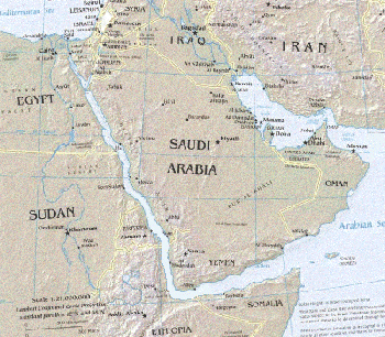
The map to the right shows how the Red Sea shore-lines may have looked during the early phase of the Africa-Arabia Rift Valley breakup.
To make the map, an ordinary map was "trimmed" along the Arabian Red Sea coast and the trimmed piece was then moved down, diagonally, to fit next to the African coast. The joined sections were then scanned into a graphics file.