Installed 13 Nov 2005.
Map of Crowley's Ridge and of the Flood Plains of Adjacent StreamsUse your web browser's scrolling function to explore the map.
Flood Plains are shaded in brown. In some places oxidation has turned
the map paper brown. |
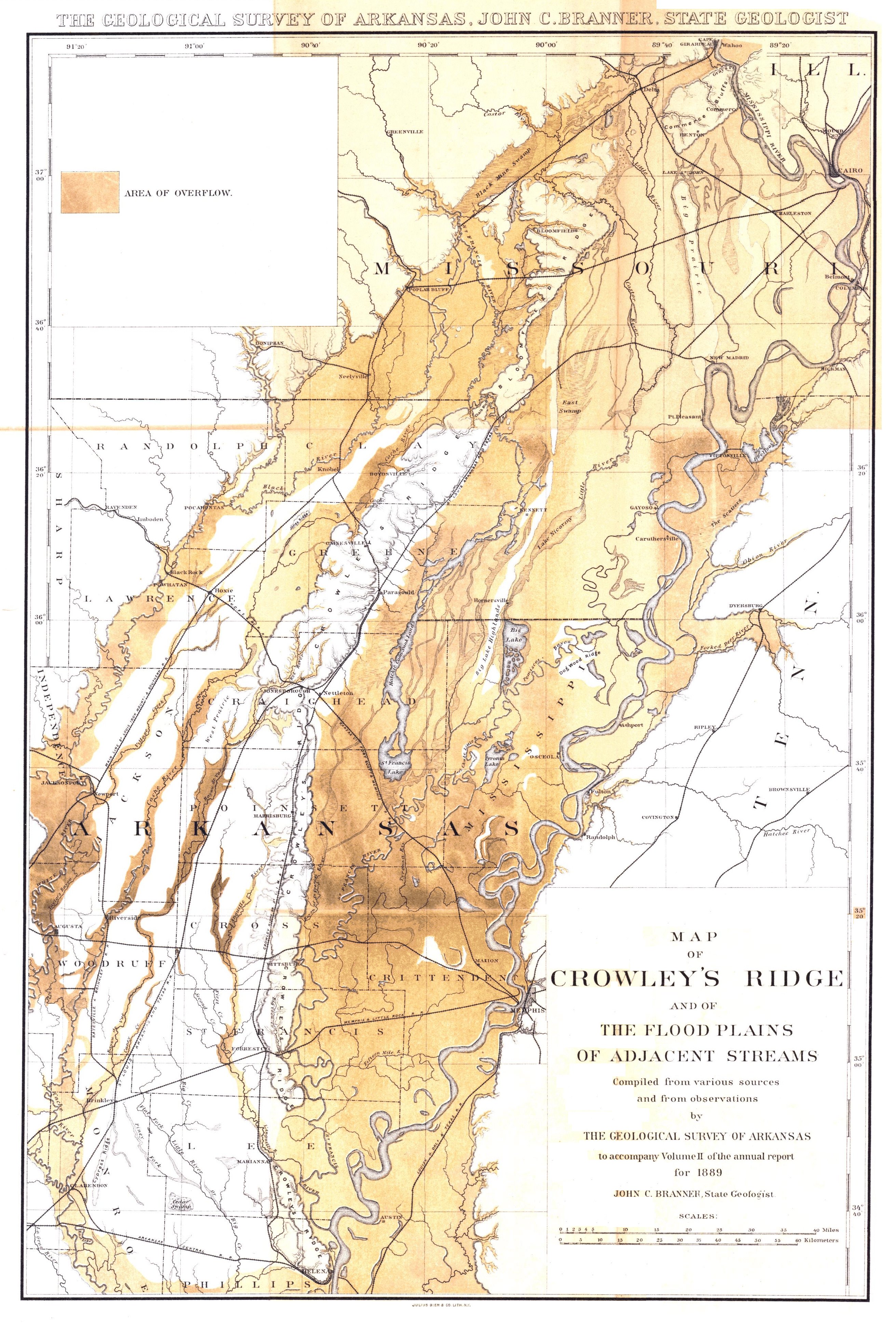
This 1889 Map was copied from the University of Alabama Map Library
Installed 13 Nov 2005.